Get around and get to know your county with these helpful maps and downloadable resources.
- Contra Costa Cities Map
- Contra Costa Transit Map
- Where is BART: Real-Time BART Train Locations
- Bike Mapper: Create a Bike Route Map Based on Your Preferences
- Bike Maps
- Bike Lockers in Contra Costa County
- Park & Ride Lots
- Casual Carpool Locations
- HOV Lanes
Contra Costa Cities Map
A simple map showing the cities in Contra Costa County with links to their respective websites.

Contra Costa Transit Map
View the service areas of all 14 transit providers in Contra Costa County with links to each transit agency.
Where is BART?
An interactive map showing real-time BART train locations and arrival information based on data coming in directly from BART.

511 CCTA’s Bike Mapper
An innovative bike mapping system specially designed to find flat, safe, and fast routes anywhere in the San Francisco Bay Area.

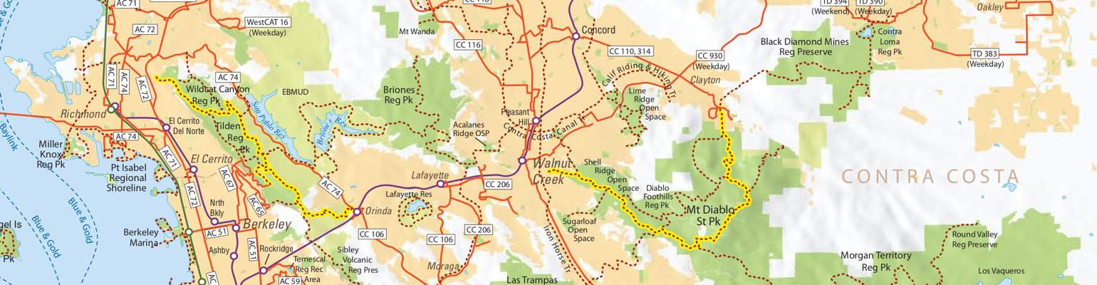
Bike Maps
We compiled a comprehensive list of web and print bike maps available for Contra Costa County and all of the Bay Area. Whether you’re looking to plan your commute or find a great route for exercise and enjoyment, you’ll find what you need in one of these maps.

Bike Lockers in Contra Costa County
We’ve pinpointed the locations of public bike lockers in Contra Costa County.

Park & Ride Lots
A map showing current Park & Ride locations

Casual Carpool Locations
Casual Carpool has been around for almost 40 years. Find current designated locations for a no-commitment, app-free carpool option that costs about $1 per trip.

HOV Lanes
Skip the traffic and use the entire Bay Area HOV Lane network.
