If you’ve ever taken BART to get anywhere, you’ve probably seen the most common map of the Bay Area– that displaying the iconic transit system’s network. But have you seen the Bay through the fascinating map filters of the region created by the San Francisco based Stamen Design? Stamen has developed three amazing ways to see the Bay:
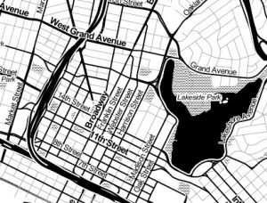
Toner…
“These high-contrast B+W (black and white) maps are featured in our Dotspotting project. They are perfect for data mashups and exploring river meanders and coastal zones. Available in three flavors: normal, no labels, only labels.”
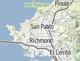
…Terrain….
“Orient yourself with our terrain maps, featuring hill shading and natural vegetation colors. These maps showcase advanced labeling and linework generalization of dual-carriageway roads.”
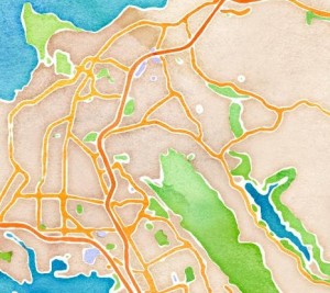
…. and Watercolor
“Reminiscent of hand drawn maps, our watercolor maps apply raster effect area washes and organic edges over a paper texture to add warm pop to any map.”
The pictures above are just stills, so if you want to see more go ahead and check out the cool, interactive maps yourself!


