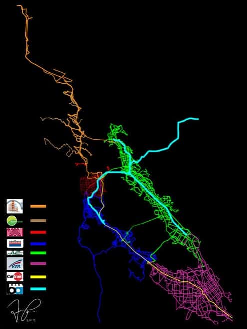
Things are looking bright for Bay Area transit with record high ridership, but if you really want to see a glowing view of the agencies serving the Bay, look no further. The map below was created by deviantART user DylanofTilden.
The Bay Area, through public transit lines. Image credit: DylanofTilden
According to DylanofTilden what started as an attempt to map San Francisco through public transit ballooned into the map that you see here. Be sure to check out the SF Weekly’s coverage and a larger size of the impressive, artistic map as well!

