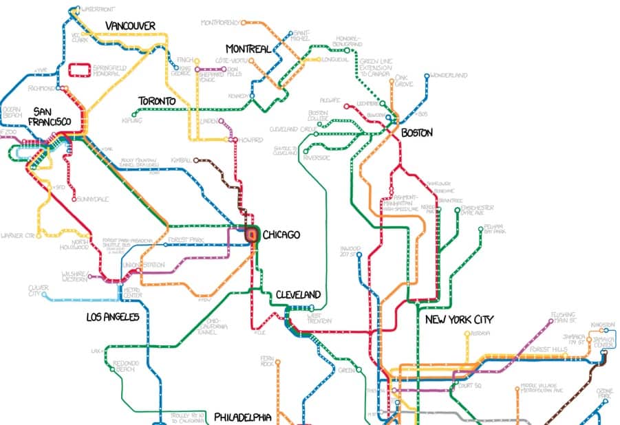
A glimpse of xkcd’s map of all subways in North America– click the above image to see the full map. Image credit: xkcd
Here’s one for the rail and public transit enthusiasts– xkcd recently shared a cool map displaying all subways in North America, connected. For the die-hard rail enthusiasts, xkcd does offer this disclaimer:
The definition of a subway used here is, with some caveats, “a network containing high capacity grade-separated passenger rail transit lines which run frequently, serve an urban core, and are underground or elevated for at least part of their downtown route.” For the rest of you, the definition is “an underground train in a city.”
It’s a fascinating map nonetheless, regardless of your definition of “subway,” check it out!
(Previously here at 511 Contra Costa we’ve also shared a similar map for bicycles that ties together bike routes across the nation into a network, known as “United Bike Lanes of America.” For more interesting transit maps, check out our posts tagged “maps.”)