Bike to Work Day is a promotional event to encourage the use of a bicycle instead of a car
About Bike To Work Day
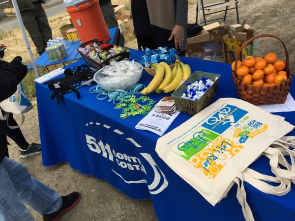
On Thursday, May 11, almost 10,000 Bay Area cyclists celebrated National Bike Month by commuting to work by bicycle! 400+ Energizer Stations were set up dwhere cyclists could stop for refreshments and promotional items.
 511 Contra Costa has supported cyclists and Energizer Station hosts throughout Contra Costa County since 2001 using Bay Area Air Quality Management District funds and the Contra Costa Transportation Authority’s half-cent sales tax for transportation funds.
Bike to Work Day 2017 was presented by the Metropolitan Transportation Commission, 511 and Kaiser Permanente. Regional sponsors included the Bay Area Air Quality Management District, Bay Area Rapid Transit (BART), Clear Channel Outdoor and Clif Bar.
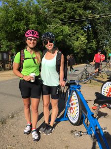
Photos from Bike To Work Day 2017
Wondering what Bike To Work Day looked like across Contra Costa? Click any thumbnail below to access our gallery of photos from energizer stations across the county, or view them on Facebook. We also suggest visiting the photo gallery at YouCanBikeThere.com. (Note: As energizer stations hosts send in photos, we’ll be adding them. If you have photos to share, email them to tips@511contracosta.org!)
Morning Energizer Stations
Brentwood: City Park at 2nd & Oak St – Host: Delta Pedalers Bicycle Club
Concord BART Station – Host: Bank of America & TRC Solutions
Concord: Monument Corridor Trail at Monument Blvd – Host: City of Concord
Martinez: Imhoff Pl & Imhoff Dr (Central San HQ) – Host: Central San
Martinez: John Muir National Historic Site – Host: John Muir National Historic Site
Walnut Creek: Contra Costa Canal Trail off of N Wiget Ln – Host: Renaissance ClubSport
Walnut Creek: Iron Horse & Contra Costa Canal Trail – Hosts: 511CC, CCTA, EBRPD
Walnut Creek: Olympic Blvd & Newell Ave – Host: .
=”” <strong=””>Walnut Creek: Walnut Creek BART – Host: Bike Walnut Creek
Walnut Creek: Walnut Creek City Hall – Host: City of Walnut Creek
Afternoon Energizer Stations
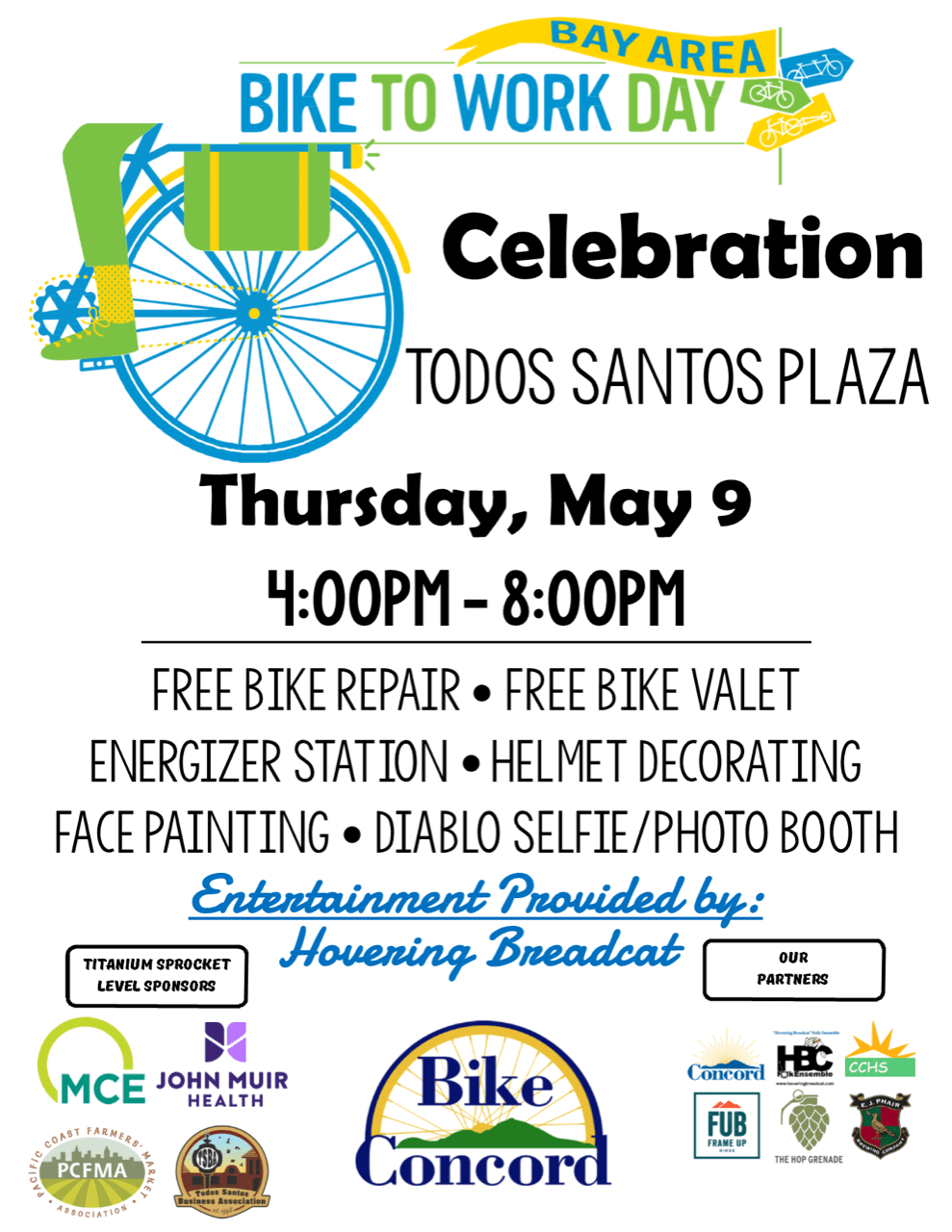
Concord: Todos Santos Plaza – Host: Bike Concord
Walnut Creek: Iron Horse & Contra Costa Canal Trail – Hosts: 511CC, CCTA, EBRPD
Walnut Creek: Walnut Creek BART – Host: Bike Walnut Creek
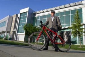
Any Day Can Be Bike to Work Day
 Bike To Work Day is a great time to try commuting by bike, but it doesn’t have to be the only day you give it a shot! Just remember: Biking to work is all about what works for you. Maybe the weather, or having a bike buddy, or the copious amounts of stuff you have to haul on a bike factors into your decision to cycle to work, and that’s okay!
Biking to work should be enjoyable, so pick days when riding seems fun and reasonable, then go for it. Do that and you might find yourself planning more rides to work. Just like these first-time Bike To Work Day participants.
Tips: Preparing to Bike Commute
 Need help getting ready to ride to work? Preparing for a bike commute isn’t as difficult as you might think. Taking a little time to get familiar with your bike, figure out how to carry your stuff & find a good route (or even a bike buddy) can make things much easier.
Take the guesswork out of preparing with our Tips & Tricks for Bike Commuting!
Isabella Zizi: 2017 Contra Costa Bike Commuter of the Year
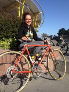 Bike Party is what made Isabella Zizi start riding as an adult. That’s where “I broke in my orange ’70s Peugeot and introduced it to the fun.” Those rides opened the door to her commuting by bike, and she now regularly uses her bike to commute the six miles to Gathering Tribes in Albany, a Native American arts, crafts & jewelry store.
For Isabella, biking is more than just transportation, it provides a link to her community and its history. These days she rides the Richmond Greenway, but she used to live by it before it was green. “It was just dirt and rocks, and now it has been transformed. I love the connections it provides. The edible garden, the murals, it is so cool to see everything come to life and be open to the whole community.” During rides around Richmond, she also builds connections with her neighbors and strengthens friendships with other riders.
To get further inspired, read the rest of Isabella’s story and the stories of other 2017 Bike Commuter of the Year winners at YouCanBikeThere.com!
Bike Mapper: Choose the Route Best for You
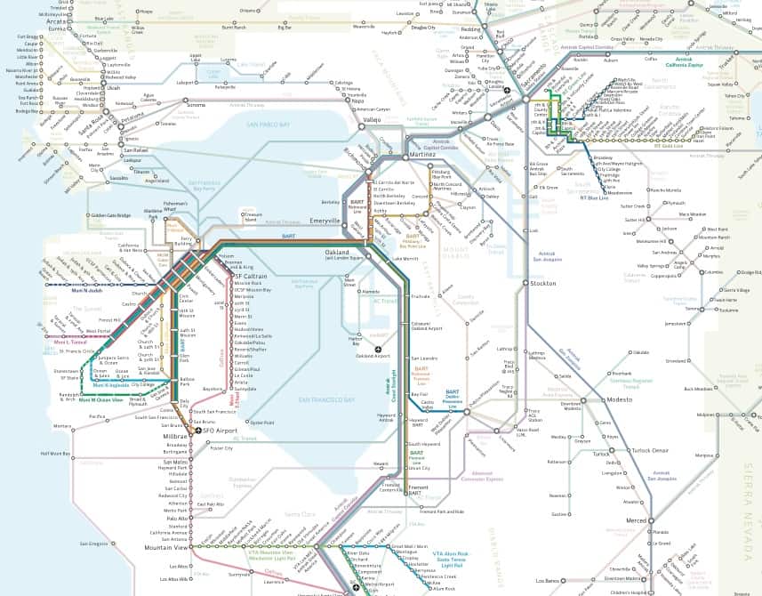
511 Contra Costa’s Bike Mapper is an innovative bicycle mapping system designed to find the flattest, most direct, or fastest route anywhere in Contra Costa. Read more about the 511CC Interactive Bike Mapper here, or check out our selection of free paper and online bike maps.
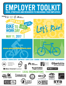 Employers: Tips on Encouraging Bike Commuting
If you’re an employer and want to inspire more of your employees to commute by bike, we can help! You’ll find some great strategies on promoting bike commuting year-round when you download the Bike To Work Day Employer Toolkit!
Thanks to Our 2017 Energizer Station Hosts!


 Pledge to Ride on Bike To Work Day


 Summer Spare the Air Season is upon us! Get Spare the Air Alerts & other air quality information sent directly to your phone with the iSmog App.
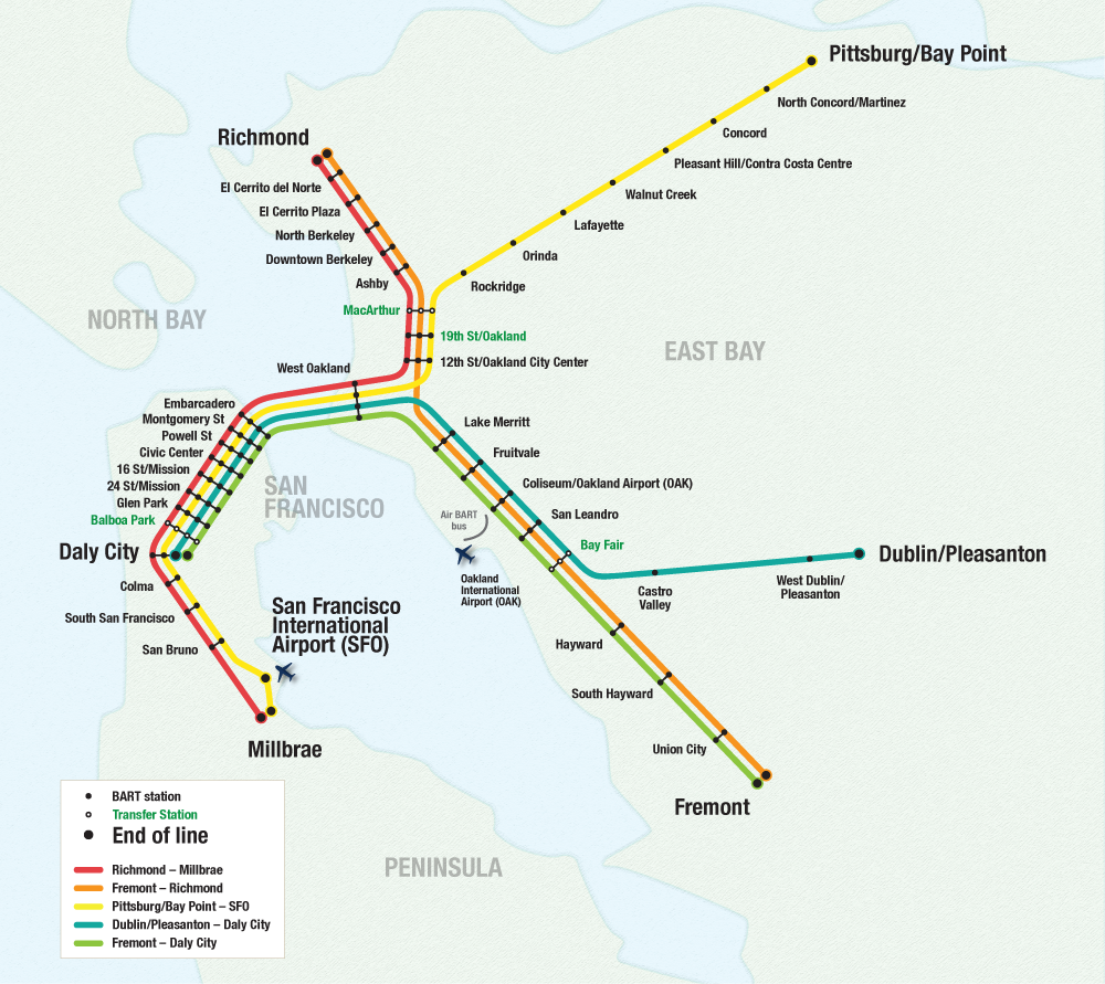
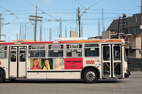
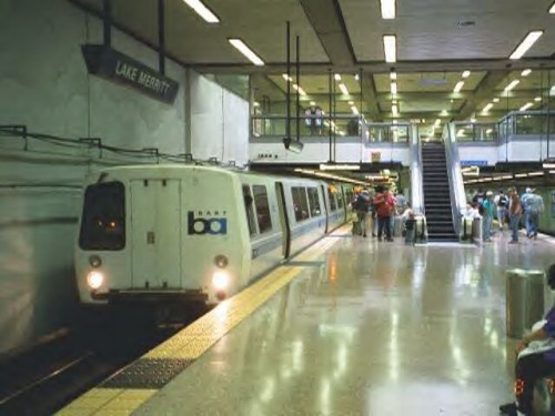
 BART has announced a 3.4 percent regular fare increase, scheduled for January 1, 2016. The estimated $15 million in added annual revenue will fund BART’s highest priority capital needs including new rail cars, an automated train control system, and an expanded maintenance facility.


